Machine Learning Final Project
GIScience
Machine Learning
Python
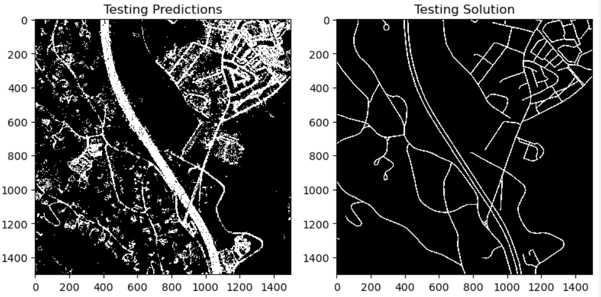
Road Segmentation
Machine Learning
Python
Remote Sensing
Cartography Final Project
Adobe Illustrator
Cartography
Implementing Perceptron
Machine Learning
Python
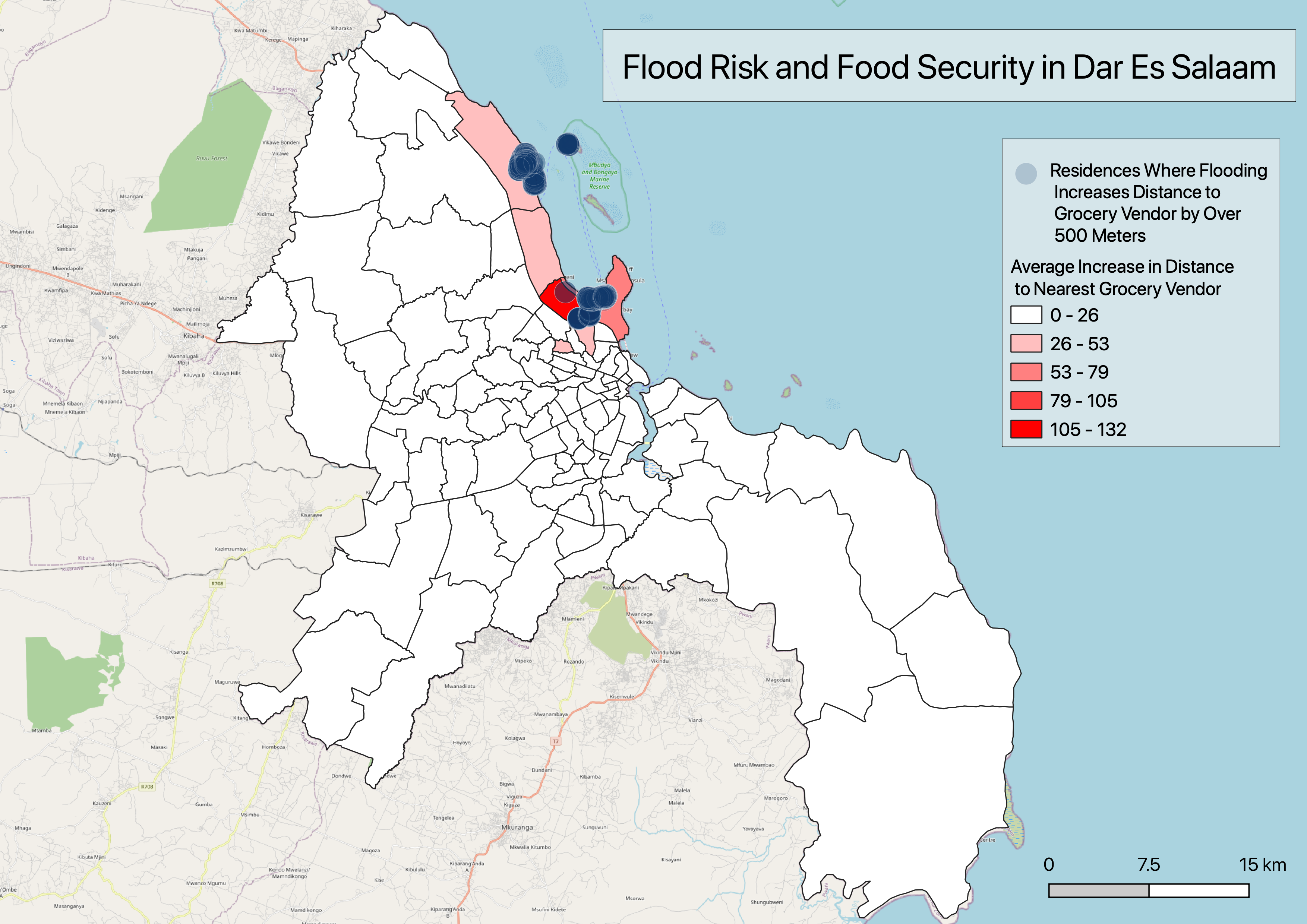
Flood Risk and Conservation
Conservation
Google Earth Engine
Scenic Viewsheds
Conservation
Google Earth Engine
QGIS
Local Versus Global Classification
Google Earth Engine
Remote Sensing
Deforestation in Protected Areas
Google Earth Engine
Remote Sensing
Green Space and Heat Anomalies
Cartography
Google Earth Engine
Remote Sensing
No matching items
