Liam Smith's Portfolio

Research, remote sensing, GIS, and mathematics.

View the Project on GitHub

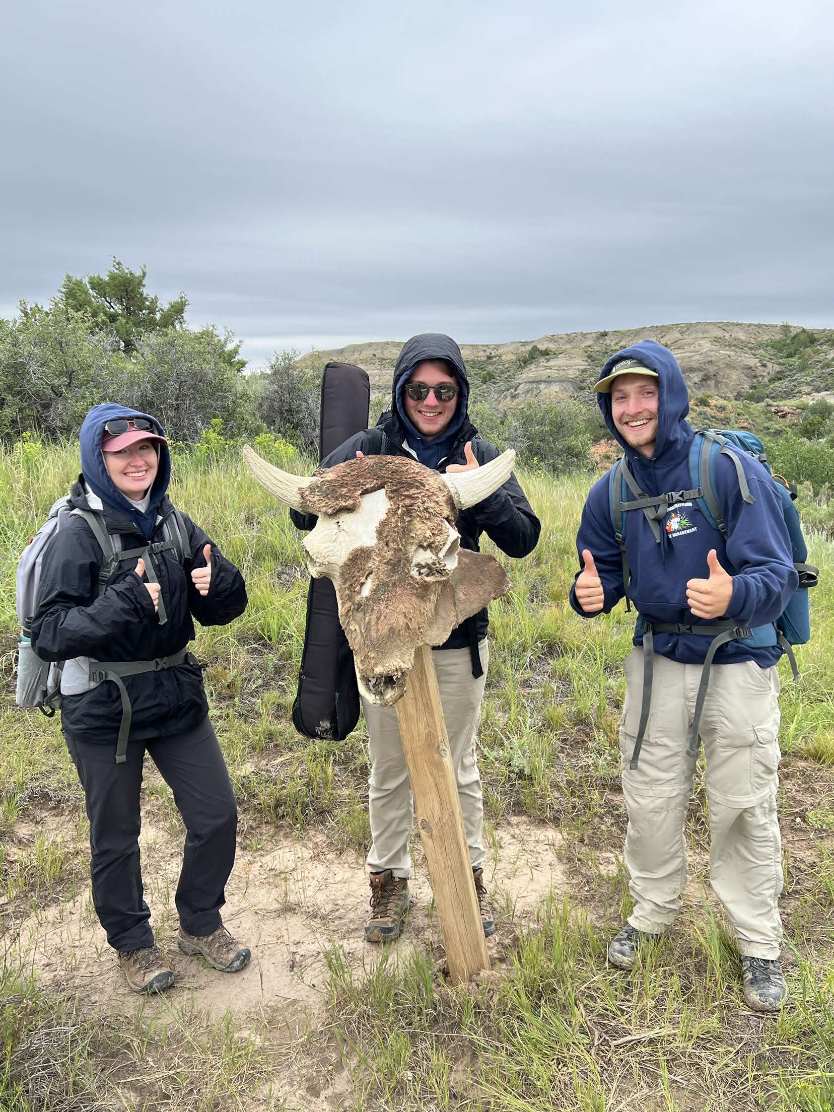
Hey! My name is Liam and I’m a recent graduate from Middlebury College, where I studied geography and mathematics. I live in Rochester, New York with my four siblings, parents, and grandma. I love hiking, rock climbing, and gymnastics, and I was involved with environmental advocacy for several years. I’m currently a Data Science Intern for the Rocky Mountain Inventory & Monitoring Network, and I’m passionate about the applications of GIS and data science towards conservation and sustainability.

This website serves as a portfolio for my college education and relevant work experiences. Please contact me at 1liam1smith1@gmail.com with any questions.

GIS Research

This past summer, I worked as a research assistant for Professor Joe Holler at Middlebury College. In this position, I checked the validity of a published study on social vulnerability to natural disasters by coding their entire analysis in Python. As a part of my work, I programmed Principal Component Analysis with varimax rotation from scratch and critiqued the statistical methodology of the Social Vulnerability Index (SoVI). My research advisor and I wrote this report on our work, and presented our work at the American Association of Geographers Annual Meeting in April 2024.

Remote Sensing Experience

I’ve taken two geography courses on remote sensing using Google Earth Engine and one computer science course on image processing. In my first remote sensing class, I learned the fundamentals of image interpretation and spatial analysis in Google Earth Engine, producing this web app as a part of my final project. In my second remote sensing class, we delved into advanced topics like clustering and classification using machine learning methods and touched on other topics like drone imagery acquisition and image processing in ArcGIS Pro. If you’re interested in seeing this work, please visit the website I built for this class. In the image processing course, I learned to use Python, particularly NumPy and scikit-image, to analyze images. For my final project, I explored several machine learning algorithms for road segmentation.

Open Source GIS

I originally developed this website as a part of the Open Source GIScience course I took at college. In this course, I learned to conduct reproducible spatial analysis in SQL, Python, and R. All of my coursework for this class is hosted on my GitHub account, and my GIS analyses and reflections are included below.

GIS Analyses

  1. Flood Risk and Food Access in Dar Es Salaam
  2. Spatial Accessibility of COVID-19 Healthcare Resources in Chicago
  3. Hurricane Ida Spatial Twitter Analysis
  4. Final Project: Replication Study using Geographically Weighted Regression

Blog Posts

  1. Is GIS a Science?
  2. The Role of Open Source GIS in Resolving the Reproducibility Crisis
  3. Error and Uncertainty
  4. Research Compendia as a Tool to Learn Spatial Analysis
  5. Understanding Uncertainty in Vulnerability Indices
  6. Uncertainty in Volunteered Geographic Information
  7. Reproducing Chakraborty’s Analysis of COVID-19 and Disability Characteristics

Conservation Planning

In the conservation planning course I took at Middlebury, we conducted a semester-long analysis of the natural resources, habitat blocks, and habitat connectivity in the Town of Middlebury, Vermont. The GIS papers I wrote for that class are included below.

  1. Viewshed analysis
  2. Riparian conservation
  3. Habitat blocks and connectivity

Data Science and Machine Learning

As a part of my math major, I took two data science courses: introduction to data science and statistical learning. Please find my final project from statistical learning, in which my group learned about fuzzy c-means clustering, by clicking here. In the computer science department, I also took an elective on machine learning, and all of my machine learning work is available here.

Mathematics

At Middlebury, all mathematics majors are required to write a capstone thesis on a topic of interest. I chose to investigate two applications of spectral graph theory, applying my knowledge of linear algebra to graph theoretic problems. My senior thesis is available here.

Cartography

Hoping to learn how to make figures more accessible and aesthetically pleasing, I enrolled in a class on cartographic design during my final semester of college. My final project for this course is a map of rock climbing locations in South Africa’s Western Cape, available here.